View all results
No results
Home
Porti
Aree marine protette
Distanze tra i porti
Itinerari
Contatti
Sign in
Il Portolano
dei Mari d'Italia
View all results
No results
Esplora i porti per regione
Liguria
(77)
Toscana
(73)
Lazio
(46)
Campania
(77)
Basilicata
(3)
Calabria
(41)
Sicilia
(154)
Sardegna
(128)
Puglia
(73)
Abruzzo
(15)
Molise
(4)
Marche
(17)
Emilia Romagna
(27)
Veneto
(60)
Friuli Venezia Giulia
(51)
Corsica
(40)
Costa Azzurra
(31)
Croazia
(16)
Inserzioni
Articoli e itinerari
Campania
21 Feb 2026
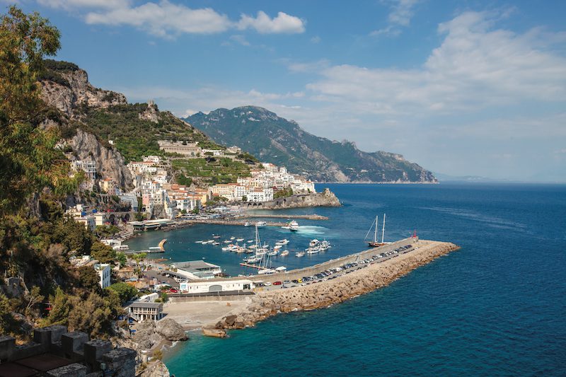
Da Positano a Vietri sul Mare, la “Divina” Costiera Amalfitana
Campania
21 Feb 2026
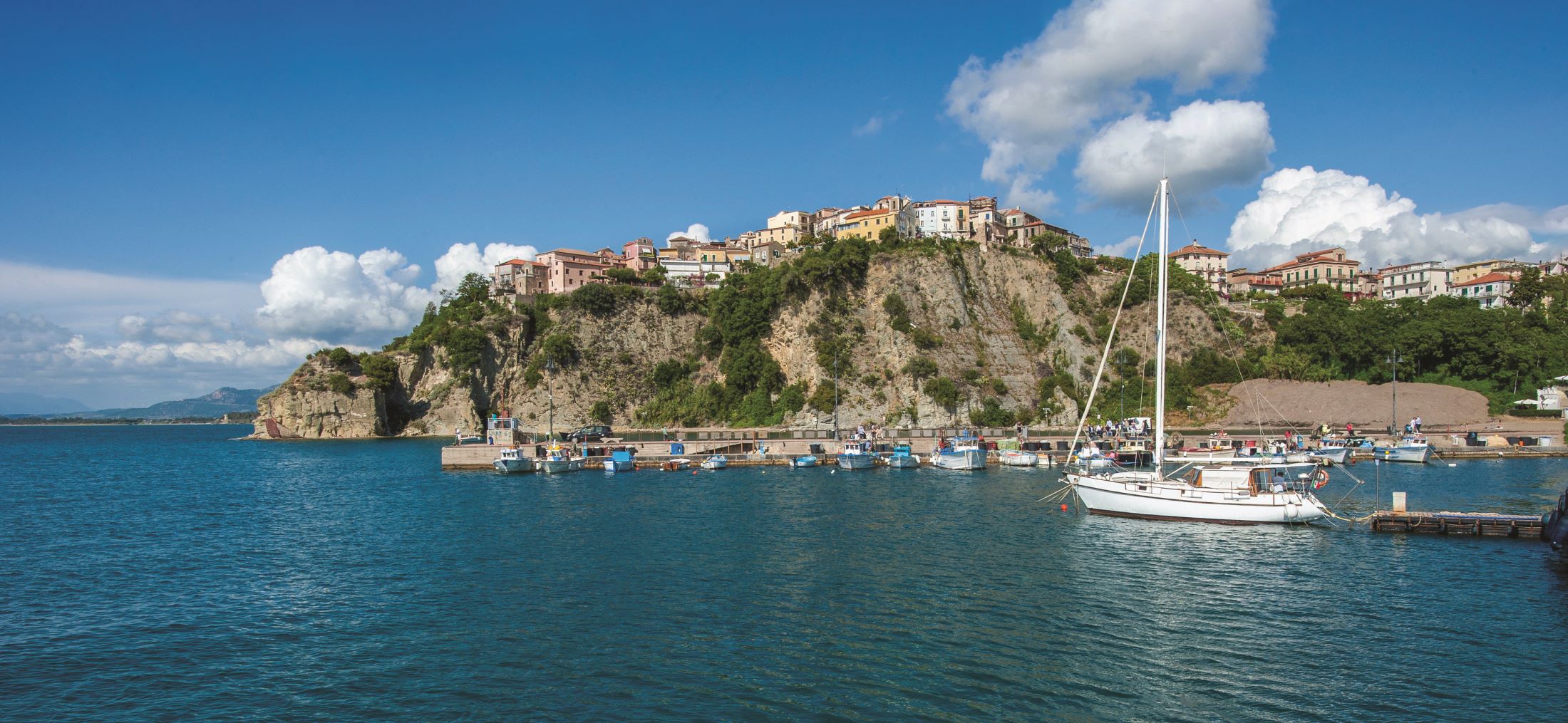
Il Cilento: Da Agropoli ad Acciaroli
Campania
21 Feb 2026
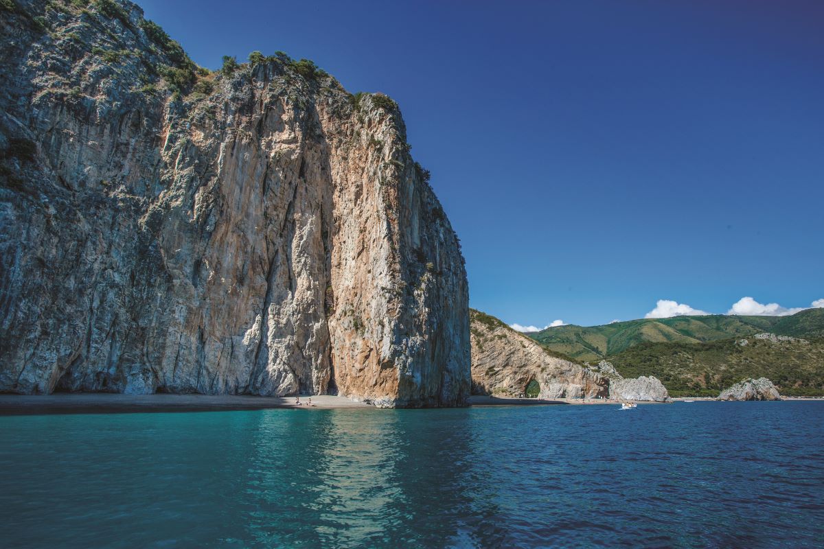
Il Cilento: la costa del mito in Campania
Carrello
×
View all results
No results